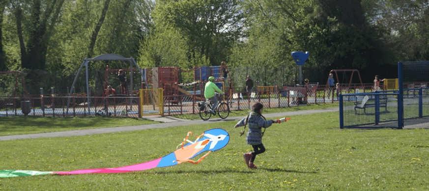
The Development uses the bank of the stream: On the local plan the Bertie Park development is 0.66 hectares. OX Place now say it is 0.77. We think this is because they moved the site boundary to include part of the bank of the stream. This is where the artist’s impression shows kids running round and people picnicking:
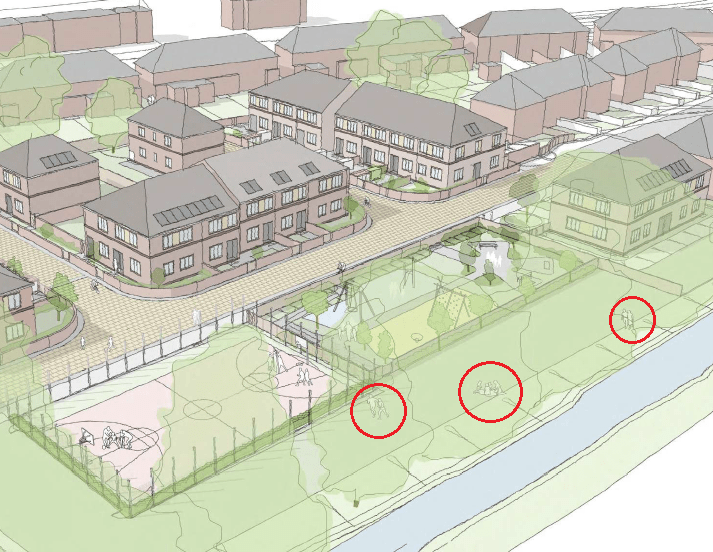
The Environment Agency have said that because development includes part of the bank, it will require a Flood Risk Activity Permit. They say that “a permit is unlikely to be granted for the current proposal.”
The new bridge: OX Place need to build a new bridge to give better access to the land behind Wytham Street. This will also need a “Flood Risk Activity Permit”. The Environment agency say it is unlikely that a permit would be granted for the current proposals unless OX Place can demonstrate that the bridge works will neither affect the stream or increase flood risk.
Sustainable drainage systems (SuDS). SuDs help prevent flooding by holding back rain water so that it doesn’t run-off straight away:

The Environment Agency have said that there has to be “a minimum of 1 metre clearance between the base of the infiltration point and the peak seasonal groundwater levels.” They have also said that SuDS “must not be constructed in ground affected by contamination.”
It is not clear how OX Place will meet either of these conditions.
Maintenance of Redbridge Stream: The Environment Agency say they also have concerns about access to Redbridge Stream for maintenance works as the wall of the MUGA might be in the way.
The development will need government approval. OCC will have to refer the application to the Secretary of State for Housing, Communities and Local Government before they are able to grant planning permission.
Please click here to see the Environment Agency guidance.
